Wikipedia has an easy to see map of plate tectonics --Plate Tectonics
Worldatlas.com has a couple of Useful maps of the modern Middle East
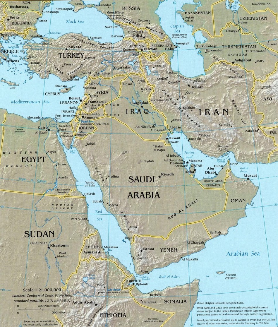
For a topographical map of the Middle East, needed for this lecture and to understand the later lectures better, try this one: topographical map of the Middle East
I also found this to better see where the Balkans and the Straits of Dardanelles and Bosporus are:
 Bosphorus (also Bosporus) is red, Dardanelles is yellow, the Balkan Peninsula is the land in the upper left corner. This is where Turkey is divided into its Asian and European parts, the city of Istanbul lies on both sides of the Bosphorus Strait.
Link and password for questions and practice at Quizlet for this lecture: Quizlet and the password is rivlandlec2
No comments:
Post a Comment